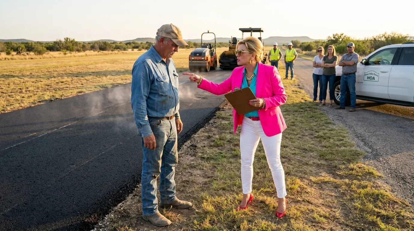
Your property is in violation. You have 14 days to comply or we will take action. She said it the way people say things they have rehearsed. Flat, certain, carrying the practiced weight of institutional authority. She was standing at the edge of what had been 24 hours earlier a perfectly level grass airstrip.
And she was holding a clipboard, the way a person holds a weapon they have never actually fired. The asphalt was still warm. I could smell it from where I stood. That particular petroleum heat that clings to the back of the throat. The smell of something permanent being done without permission.
I looked at the clipboard. I looked at the fresh black surface where the grass had been. Then I looked at her. She had no idea. No idea that the strip of land she was standing on, the access road her crew had driven in on, the staging area where her contractor had parked his equipment, all of it sat on a parcel I had owned outright since the day my grandfather's estate was settled 41 years ago.
I held the deed. I had always held the deed. I had simply never needed to say so out loud. My name is Calvin Merritt. I am 63 years old and I have been a licensed pilot for 38 of those years.
The land you are about to hear me describe is not a subdivision lot. It is 214 acres of high desert plateau in the eastern reaches of a county that most people cannot find on a map without help. And it has been in my family since my grandfather, Elias Merritt, homesteaded it in 1931. Elias came west from Oklahoma with a team of mules, a surveyor's transit, and a stubbornness the family still talks about at the dinner table. He broke the ground by hand the first two seasons.
By the time my father, Robert Merritt, was born in 1938, there was a house, a well, a working windmill, and a set of cedar fence posts along the northern boundary, weathered gray now, but solid, the way things are solid when built by someone who does not expect anyone else to fix them. My father added a hay barn and a stock pond. I added the airstrip. I built it in 1997. I was 40 years old.
I had been flying for 15 years, and I had grown tired of driving 2 hours each way to the nearest general aviation airport every time I needed to move equipment or get somewhere quickly. The plateau gave me a natural grade, almost perfectly flat, oriented northeast to southwest to catch the prevailing wind. I cleared the mesquite myself, hired a grader to level the surface, and laid 3,200 feet of compacted caliche, topped with a stabilized turf surface that drained well and held up through freeze and thaw. I registered it with the FAA as a private-use landing facility, filed the appropriate paperwork with the county, and marked it on the sectional charts under the identifier 7TX4. It was not a commercial operation.
It was a working tool on a working ranch, the same as the stock tank or the equipment shed. I used it to fly in veterinarians when cattle were sick to receive parts shipments and once in the winter of 2009 to fly my neighbor Earl Dunar's wife to a trauma center in Lubbock when the roads were iced over and she had stopped breathing in her kitchen. The airstrip was not a luxury. It was infrastructure. The deed to the parcel, all 214 acres, including the airstrip, the staging area, and the access road, had been recorded at the county courthouse in 1983 when my grandfather's estate cleared probate.
Instrument number 1983-00441, book 47, page 212, Ridgerest County deed records. I had a certified copy in the top drawer of my filing cabinet inside a manila folder labeled simply Merritt Ranch and I had not looked at it in years because I had not needed to. The land was mine. The record said so. That was the end of the question as far as I understood it.
The trouble began as it so often does with a letter. The Ridgerest Plateau Homeowners Association had been incorporated in 2014 when a developer named Castillo built 47 single family homes on a 380 acre tract bordering my eastern fence line. The development was called Mesa Pines, which struck me as optimistic given that the nearest pine tree was approximately 90 miles north, but I did not say so. The HOAs CC&Rs were clear. They applied to the lots within the Mesa Pines subdivision plat, nothing more.
My land was not within that plat. It never had been. The plat boundary ran along my eastern fence line, not across it. For the first four years, this was not a problem. The HOA managed its 47 lots.
I managed my 214 acres, and we coexisted in the way neighbors coexist when they have nothing particular to say to each other. The access road crossing the southern edge of my property was a county recorded easement predating the subdivision by 40 years. It gave the county and adjacent landowners ingress and egress across a strip 20 feet wide and Castillo's development had used it as their primary entrance because it was the most practical route. The easement was recorded. The use was lawful.